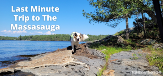
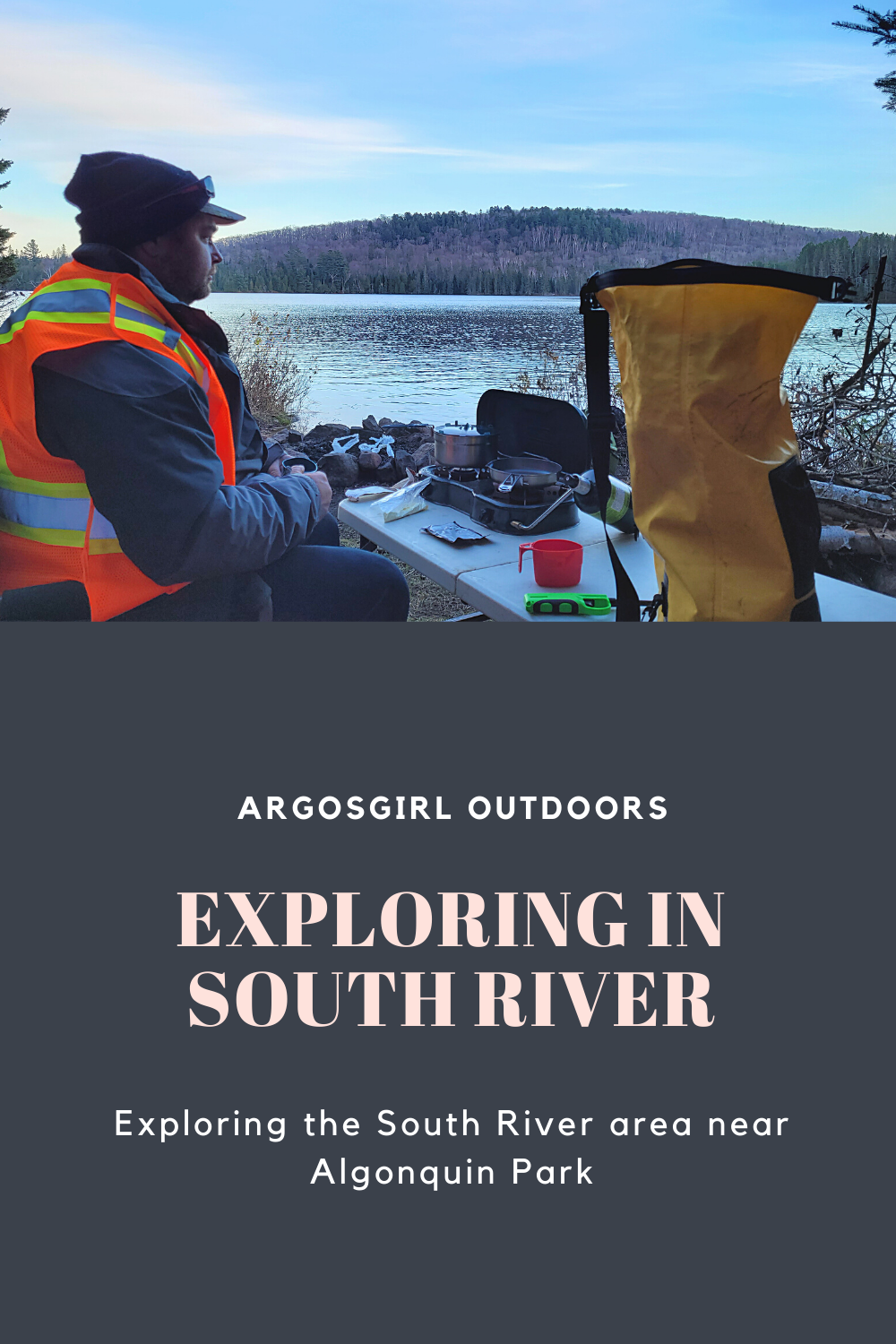
Exploring in South River
When it’s November and the forecast is calling for sunshine and temperatures in or near the double-digits, you pack your bags and head out for an adventure. That’s what we do anyway.
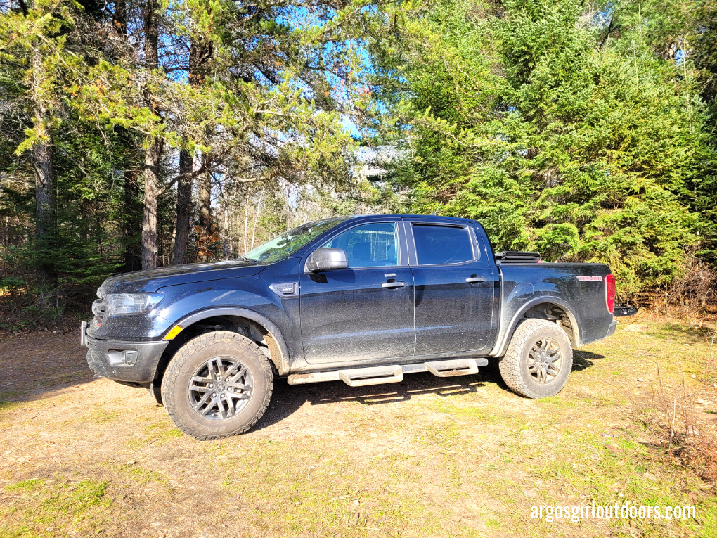
Then came the decision of where to go. This year we’ve chosen to spend some time finding new lakes to fish and crownland campsites to stay at. We both spend a lot of time searching the Backroad Map Books (BRMB) App for good areas to visit. I had two areas in mind. One was over 6 hours away. The other was about 3.5 hours away but very much in the general French River/Killarney/Georgian Bay areas we had already spent time in this year. Darrell chose an area with stocked lakes near South River, outside of Algonquin Park. We went with his choice.
After updating our spreadsheet with information about each of the lakes we were planning to fish (fish species, stocking information, any regulation exceptions, possible access points, whether there was private property around the lake), I dropped a a few waypoints in the BRMB app, downloaded an offline map of the area (ALWAYS do that), and we felt prepared to go.
On the drive up it was obvious we weren’t visiting the Georgian Bay region. Instead of the rockscape of that area, we found more forests. Although the leaves fell to the ground ages ago, the spruces, pines, and balsam firs continued to grace the area with beauty.
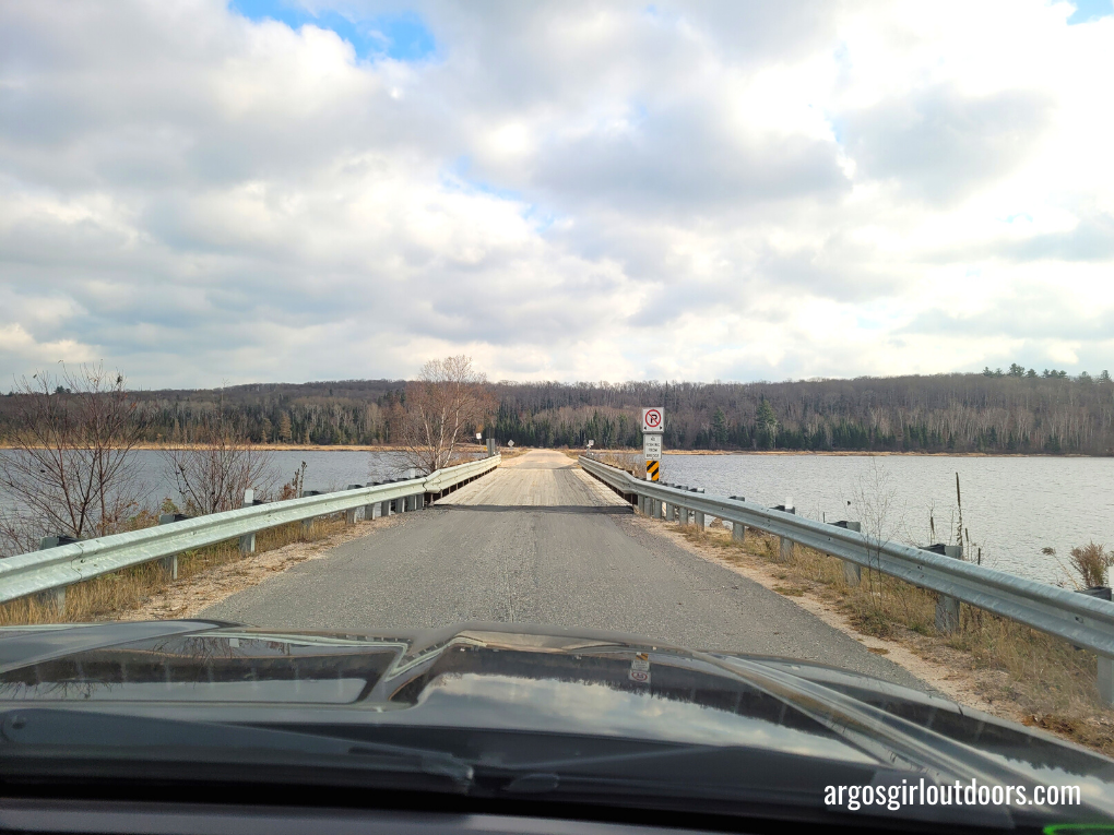
Once we reached South River, the dogs were in need of stretching their legs and we started looking for a place to stop. Of course, when we saw the Boat Launch sign we knew we had to check it out. Following the sign took us to the awesome Tom Thomson park, complete with a boat launch (good to know for future trips), and best of all, a very clean porta-potty! This was such a great place to stop that we made sure to visit it again the next day on our way home.
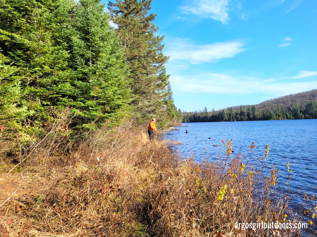
From the park we continued on, heading for the first lake on my list, one stocked with splake. Splake are a cross between a brook trout and a lake trout and are stocked throughout Ontario, but we usually have a travel a bit from home to find them. If you want to learn a bit about fishing for them in the fall, check out this excellent article by Gord Ellis. Splake are open all year, but there are limits on how many you can keep.
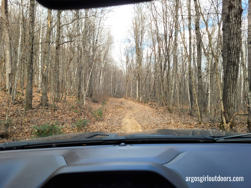
That first lake ended up having a good place to launch a boat and room to park. The only thing left to do was find a good spot to camp. We hadn’t found any on the way, so we continued up the road that quickly narrowed to more of a trail. This particular path also looked like it would take us to our next lake.
We were well past the colourful display of fall leaves, but the blanket of yellow and orange on the ground, mixed with the bare trees, was still quite the sight. Driving through the forest I surprised that the trail was so level and easy. It was in better shape than many of the roads at home! The trail ended up leading us to two dead-ends: one path was blocked by boulders, and another ended at private property (that was not marked private on any of my maps). Aside from the odd clearing with a gravely base that we could camp at in a pinch, we found no actual sites and moved on to the next lake.
As soon as we had left South River we saw the signs telling us to watch out for logging operations. On the way to our next lake it become obvious we were in logging country as we passed areas that were recently logged or being actively logged. It would be a theme throughout the weekend.
Our next lake yielded us our first campsite of the trip – one that was obviously well-used and even had a thunderbox. With a great view of the lake and plenty of room for the tent and truck, it was great site. The only problem was it’s proximity to the road. We took advantage of this nice spot to get the dogs out for a walk and a pee break. I felt myself relax a little knowing that we had now found a spot to camp for the night if nothing else came up.
For the next couple of hours we drove to more lakes, took every trail we could, and explored the area as much as possible, keeping an eye on the time and knowing that we would have to make camp sooner than later.
We found more splake lakes with easy areas to launch a boat, a couple other lakes with rainbow trout, and plenty of great, nearly hidden spots to launch a canoe. But no campsites. The roads were well-maintained and even most of the trails were pretty smooth, a bit of a letdown considering I wanted to test the truck out a little on this trip. We’ve encountered worse roads on the drive home from Home Depot!
As the clock hit 4pm we decided to head back to the only good campsite we’d found so far and settle in for the night.
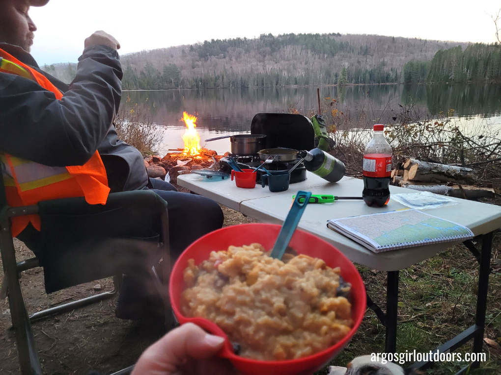
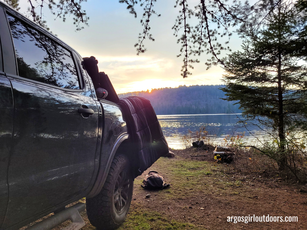
We setup camp, Darrell took some casts, and then we had dinner and watched the sunset. I imagine this spot is absolutely breathtaking in the summer and fall, as I found it pretty stunning even with the drab colours.
After sitting by the fire as long as I could handle in the chillly night air, we all headed to bed and curled into our sleeping bags. I made sure to bring the warmer sleeping bags for the dogs and they slept with their jackets on. It didn’t take long for our combined body heat to warm the tent up enough to take the chill out of the air. Having the right gear for cold weather camping makes a big difference!
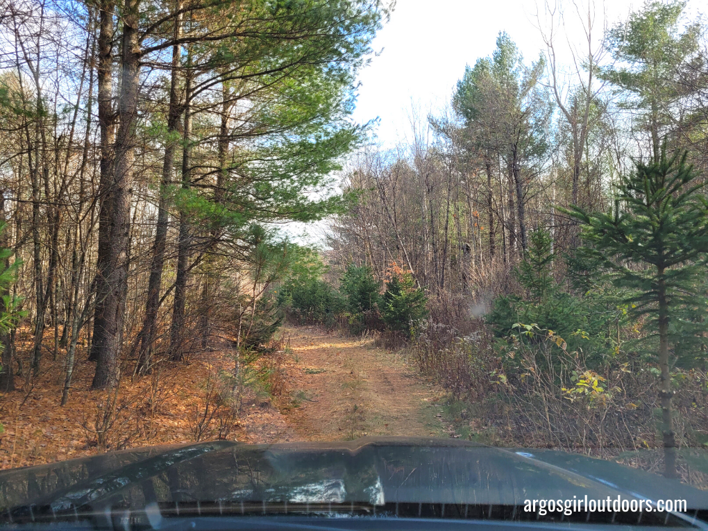
An early start the next morning had us back on the road by 8:30am. After looking at the maps and my notes again, we decided to head in the opposite direction of where we’d been the day before. There were some stocked brook trout lakes we wanted to check out, and plenty of trails on the maps to get us there. Of course, the maps aren’t always clear on what’s a main road, a side road, a logging trail, and a snowmobile/ATV trail. We ran the gamut of them on that second day.
The area we headed into was actively being used for logging and the brush that had been pushed into the ditch meant we weren’t going to find any campsites just off the road very easily. I actually loved travelling in this area despite the logging. There was so much variation in trees species and forest canopy. Areas that had previously been logged had plenty of new growth coming up. Areas that were currently being logged had some large trees left standing in the midst of all the cutting. There were plenty of birds using these areas, especially grouse that kept flying in front of the truck.
These exploring trips always fill me with wonder, no matter what we find. It’s such a completely different feeling to drive into the unknown, wondering if your map is correct, wondering if you’ll encounter an obstacle on the trail, and constantly needing to be aware or your surroundings, while also somehow being lost in them.
On that second day we found several more lakes to fish and places to access them. We even found a few campsites. but two things in particular stand out from that day.
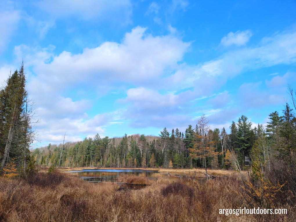
The first was when we found a campsite off a logging trail that lead down to a beautiful brook trout with not a single cottage or house on it. The campsite itself wasn’t the nicest one ever as previous visitors seemed to think leaving their garbage behind was okay. But with a little care it would be fantastic (even with the odd bear that seems to wander through, as evidenced by the pile of bear poop). It’s the perfect spot to take the canoe and just enjoy a few days. We were thrilled to have found it.
The second was when we found ourselves on a road (that turned out to be an ATV/snowmobile trail) that finally forced us to put the truck in 4 Low and made use of Darrell’s driving skills. In hindsight, we probably should have thought twice about the trail when we drove through what appeared to be a small puddle in the left track, only to sink down into a hole. 4×4 was required to get out of there without leaving a mess.
A little ways further on from there we encountered a water crossing. Both of us could see the bottom through the water, so after taking a careful look we went forward…and immediately sank further than expected. Darrell reversed us out of there and got out to investigate. I originally thought about suggesting he walk through it to see how deep it was, but considering the time of the year, I ended up suggesting a stick to judge the depth. After checking it out, we both agreed to try again, and although we once again sank more than expected, we made it through without problem. It was quite the adrenaline rush!
Our next test came not much further along. The trail forked and although I was sure the map said to go right, that portion of the trail was closed off. We stayed straight and encountered a bit of a climb with some rock. Darrell picked a good path and we made through that and the next bit of rough trail. At this point I was convinced we were no longer on the right path, which was confirmed a moment later when we saw the lake we were trying to reach and it was on the wrong side.
As luck would have it, we were also at the top of a steep, muddy hill with quite the gully in it. Sure looked fun if you could pick the right path, but it also looked like it could be a headache to climb back up if our trail didn’t go where we needed it to. I was frantically checking all my map layers again and we decided the only smart move was to retreat and head back to the main road to get to the lake. It’s a good thing Darrell excels at backing up a truck on a narrow trail with little room for error, while handling some rough ground. I was trying to figure out how we were getting help if he couldn’t back us out of there.
Fortunately, our awesome truck had our backs once again, and with Darrell’s driving skills we got out of there with no problems, though I’ll admit I was pretty much holding my breath until we emerged back at the road. At that point I finally relaxed enough to look into things further, and found out that we had gotten ourselves on a snowmobile trail that had been re-routed and ended in a lake crossing. That could have ended badly. Lesson learned, I’ll be checking even more maps and map layers for our next trip!
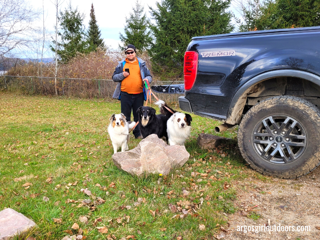
By that point the two of us and the dogs were needing a break, some lunch, and a place to stretch our legs. We headed for South River and back to Tom Thomson park, finishing our trip there and then heading home.
It was a wild weekend of exploring. We all had so much fun, and accomplished our goals of finding some access points for lakes and adding at least a few campsites to our list. There’s still so much left to explore in this area and you can be sure we’ll be back! I also learned that I could put even more effort into trip planning and navigation. I’ve already bugged Darrell about needing to add a mount on the dash so I can view multiple devices at the same time. There’s always ways to refine our system, but the important thing is that we got out there and explored! I can’t wait for our next trip!
Want to watch the video of this trip? Check it out here.
argosgirl
Latest posts by argosgirl (see all)
- Molly - March 11, 2026
- First Ice at Island Lake - January 4, 2026
- I Used To Hate Winter - January 3, 2026