Happy GIS Day!
 Today, November 18th, is GIS Day around the world! There have been celebrations for GIS Day in many areas and you can find out more by searching #gisday on most social media. I am actually quite excited about GIS Day, a day to celebrate one of my newest passions, which makes up a good chunk of my career, and to show everyone why they should thankful for the GIS that they use on a daily basis.
In school, GIS was defined to me as:
Geographic Information Systems (GIS) are computer-based systems designed for the collection, storage, and analysis of georeferenced data. (Aronoff, 1991)
Esri, the leader in GIS software, describes it as:
A geographic information system (GIS) lets us visualize, question, analyze, and interpret data to understand relationships, patterns, and trends.
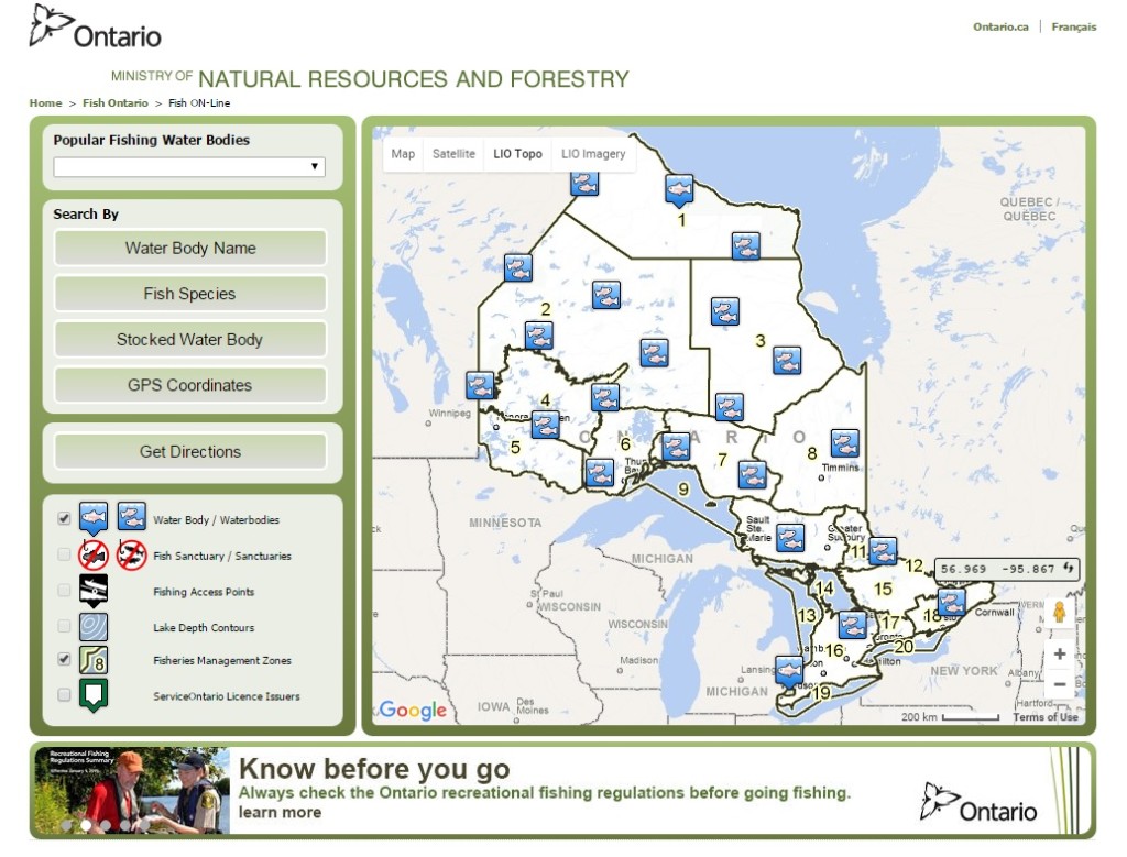
Basically, GIS is all around you. Do you use Google Maps or Google Earth? Both are a GIS. Do you have a fish finder/chartplotter in your boat? Displaying lake maps, using the unit for navigation, and storing waypoints on it? You’re using a GIS. Did you get a delivery from Purolator? The company uses GIS to send packages to the right locations and to map out routes. If you have ever used Ontario’s Fish ON-Line site that allows you to look up the presence of fish in lakes around Ontario and gather details about the lake and how to get there, then you have used a GIS.
When I returned to school I really had to idea what the field of GIS was all about, but I quickly learned about the possibilities of what could be done with all the data that is collected now days, and how it could be analyzed to produce useful, and often creative, products. My GIS classes were among my favourite and I was thrilled when I got the title of GIS Specialist at work. In addition to my biology work, I get to spend a lot of time creating maps and analyzing data. I love the challenge of working with data and finding a way to get to the end result. The perfectionist in me loves this field because you can focus on the details and be picky. And the lifelong student in me loves that I always have more to learn.
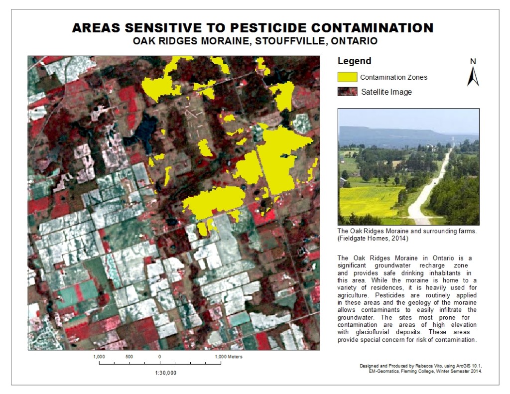
This was the final product of one of my assignments in school. GIS provides a way to analyze the available information and return an easier-to-understand answer.
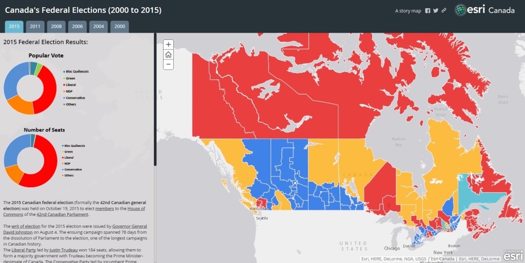
Using products such Esri’s ArcGIS, people everywhere can use GIS to help in times of disaster, to educate people on the results of elections, to update statuses of lost utilities, to share stories and, honestly, pretty much anything else you can imagine. Esri Canada has a great collection of user apps that anyone can explore. Check some out and see what amazing things can be done. In addition, most regions and municipalities now have open GIS information available through their websites. This information can include things such as land parcels and land use, to regionally owned forests and park space. Want to know more about where you live? Chances are the information is now available thanks to GIS.
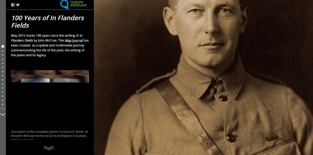
To commemorate the 100 years since the writing of In Flanders Fields, Guelph created this story map to take the viewer on a journey through John McCrea’s life.
Several long posts could be written on this blog about why I love GIS and why it is so darn awesome, but I’ll keep it short instead. Just know that GIS is an exciting field to get into, so if you’re considering what kind of career you would like, give it a thought. And you don’t need to make a career of it to benefit from GIS. You can do it for fun and you can get access to all sorts of information. Just take a moment, on this GIS Day, to appreciate the incredible impact GIS has on all of us. And for those who get to do what I do on a daily basis – Happy Mapping!
